Bike adventures
Along the Ottawa river
Bike adventures Along the Ottawa river |
|||||
|
Pour un compte rendu en français cliquez ici...
For those willing to risk the extra time once attaining the end of the bike path (at least once it comes down to the trail
) they can take a chance going south towards Ottawa by the Gatineau river valley which is best undertaken once leaving the
vicinity of "Route Verte" #2 (which is now on the ashphalt embankment) in the town of Grand Remous north of Mont Laurier.
This becomes a worthwhile adventure if someone takes the time to go beyond the monotony of a no nonsense ride. Actually for
once I took the time to really discover what the immediate vicinity of the bike path going down from Maniwaki towards the
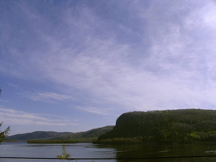
northern fringe of the nation's capital holds in terms of scenic beauty and history. With placid views of sleepy towns and rolling hills the
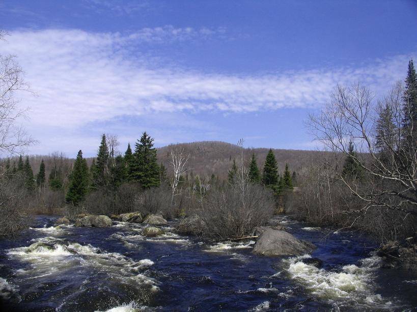
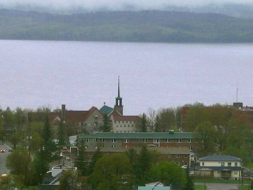
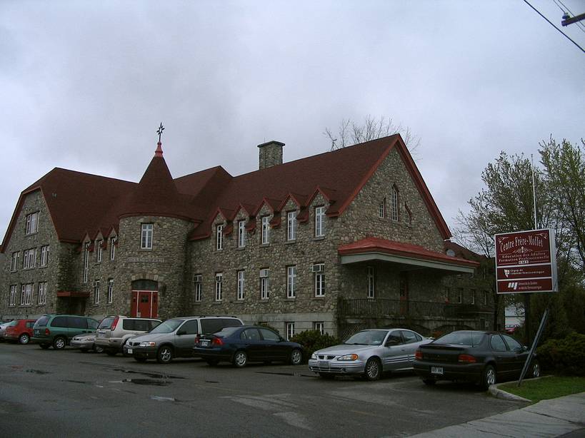
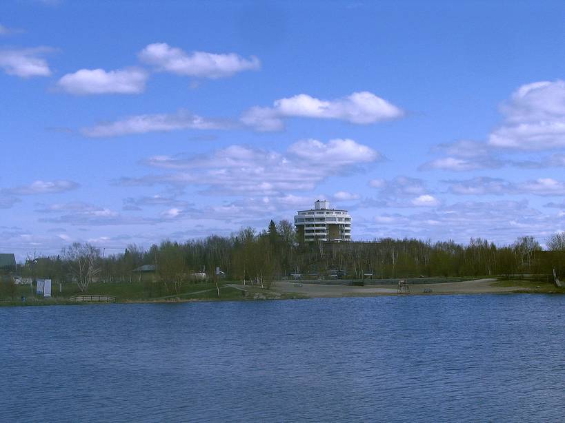
area would look more like the St Lawrence river valley once viewed from the roadway.Once attaining Maniwaki the bike path
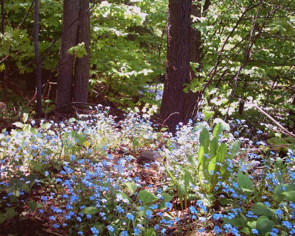
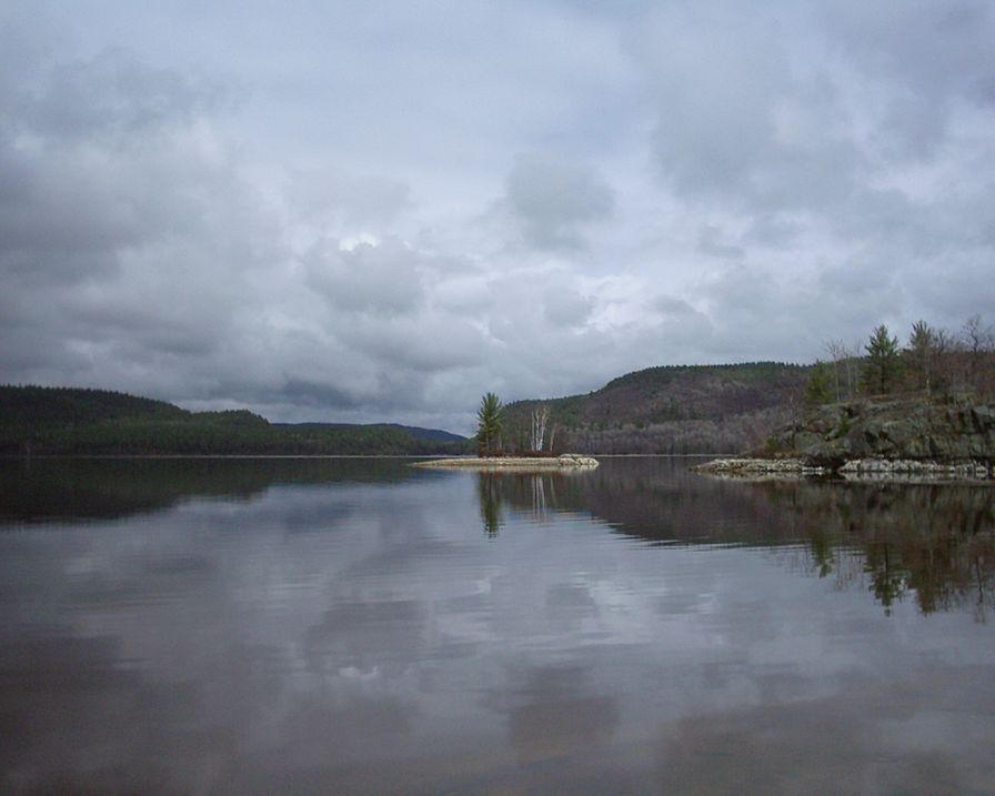
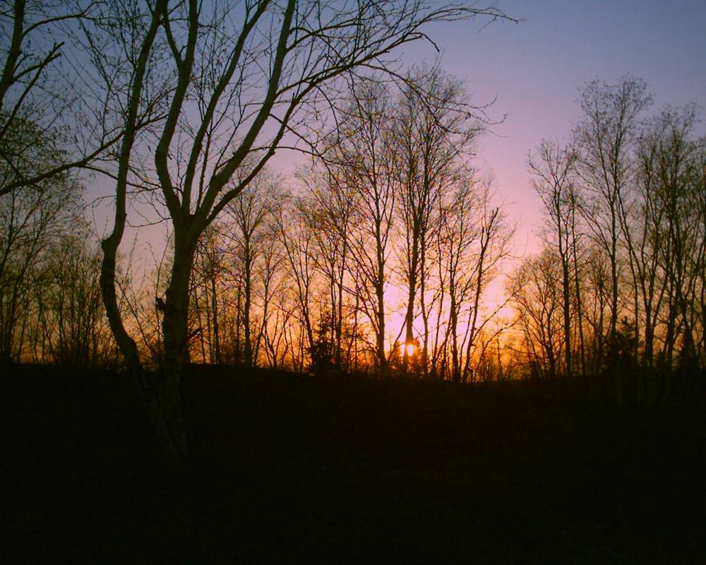
gives a much different perspective of the region since it travels within deep woodland occasionally revealing sensational
lakeside views that give a touch of magic. While I didn't go towards a truely facinating site of historical interest such
as Wakefield (with it's fabulous inn nestled within the old water mill which is so appealing to picture) taking a right
turn before (my ultimate destinately being along the Ottawa river ), I did take the time to further investigate
(at least visually) what the immediate vicinity of the bike path holds in terms of pleasent surprises..
I was pleasently surprised by what was to uncover in the
immediate vicinity of the town of "Blue sea" which is rumoured to harbor some relic coral strands from another time (if I
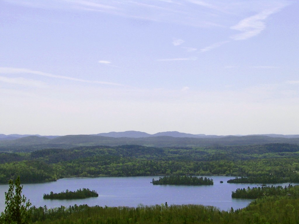
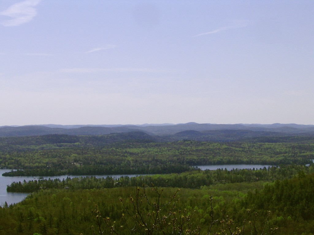
trust what mr Tomlin of Tomlin scuba duiving in Val D'or indicated ) .Furthermore a hillside look out point offered
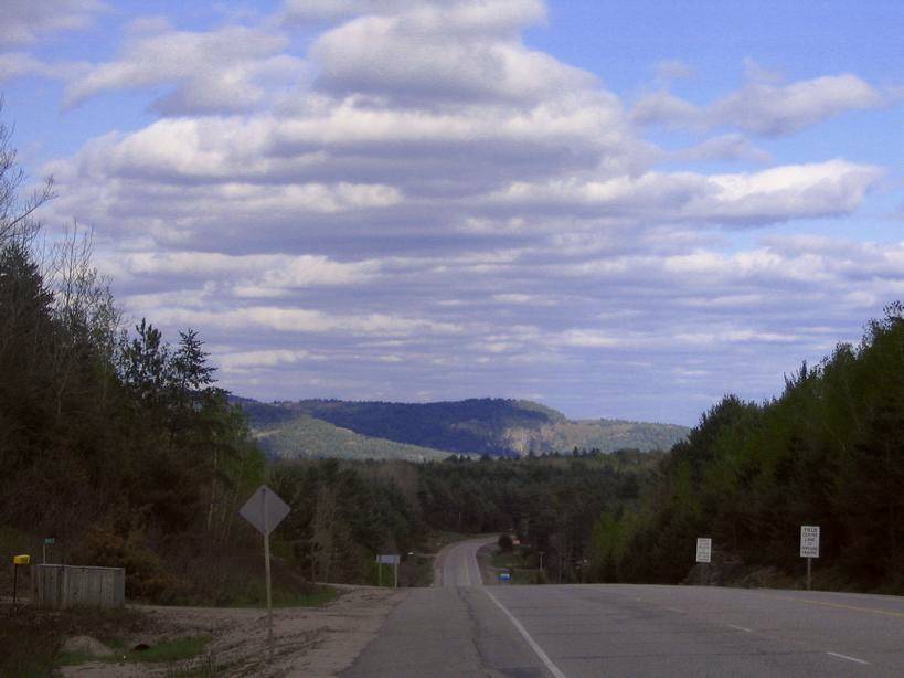
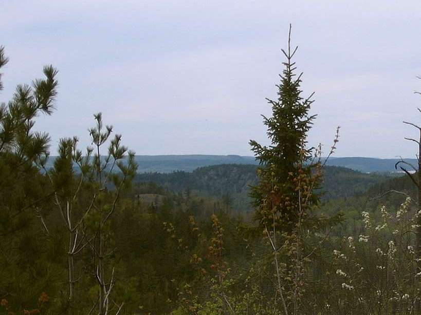
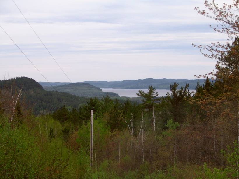
some sensational views. Despite the apparent lack of mountainous scenery I was aware that some lookout points
in the area offer some tantalising views...While some interesting lookout points can be uncovered in the Papineau Labelle park, I was pleasently surprised by the Mont Morissette lookout
point in immediate vicinity to the town of "Blue Sea" . After perceiving the region under such a bird's eye view I set
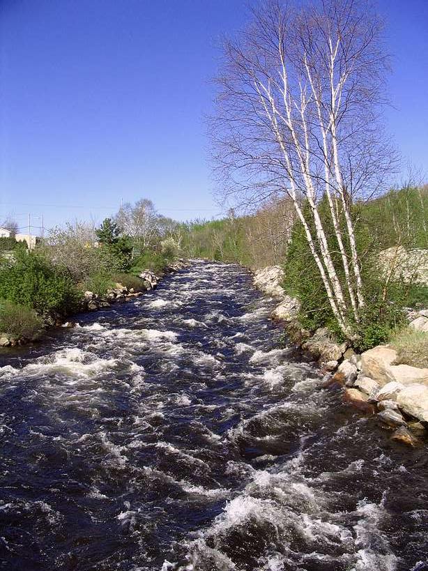
my sails on Kazabazua which I consider as a truely fascinating little place with an equally fascinating name nestled at the
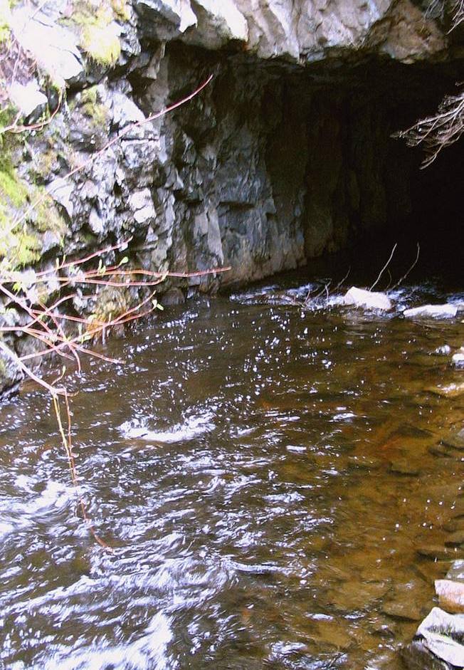
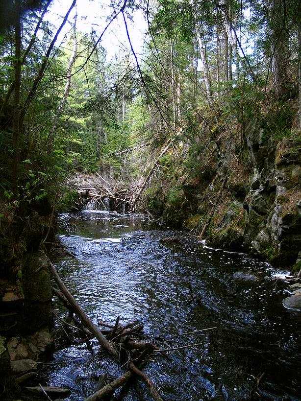
base of hills which might hold their own little thrills considering the little surprises to uncover from the small rocky streams
and falls, the interesting views and the wildlife ...
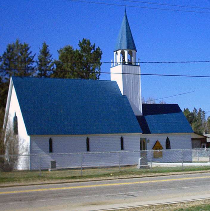
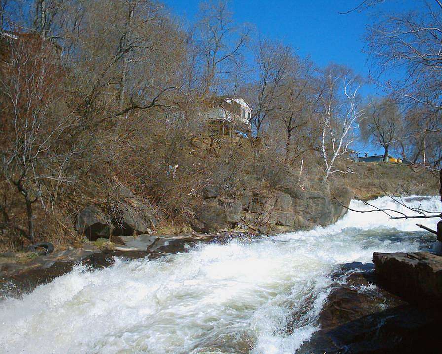
Once in Kazabazua I as is my ususal self did some awkward sight seeing (such as by visiting a cemetairy some distance before)
and took the time to look a little beyond main street which wit its odd number of churches for such a small town and the odd
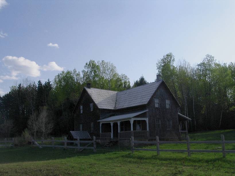
relics looks to me like some outpost with the hills in the backdrop to give this added appeal. Altough things do change and
not only for the better since an old house -apparently abandoned with all its furniture ,but untouched- besides the post office
gave way to an empty space and a sense of loss. I as is my typical self again took that picture of that barn at the junction
with a tree growing on it's fringe and then took a right turn towards the Ottawa river valley. I really pretended to enjoy
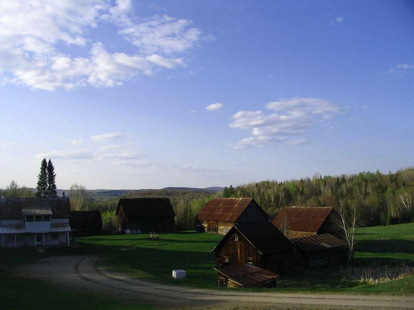
the ordeal of climbing hills even if I couldn't get a bird eye view from them... Although some roadside gems really made the
ride worthwhile even if most of us wouldn't care less about some derelict farm buildings which to be honest seem sufficiently
well preserved to make the sight truely appealing...
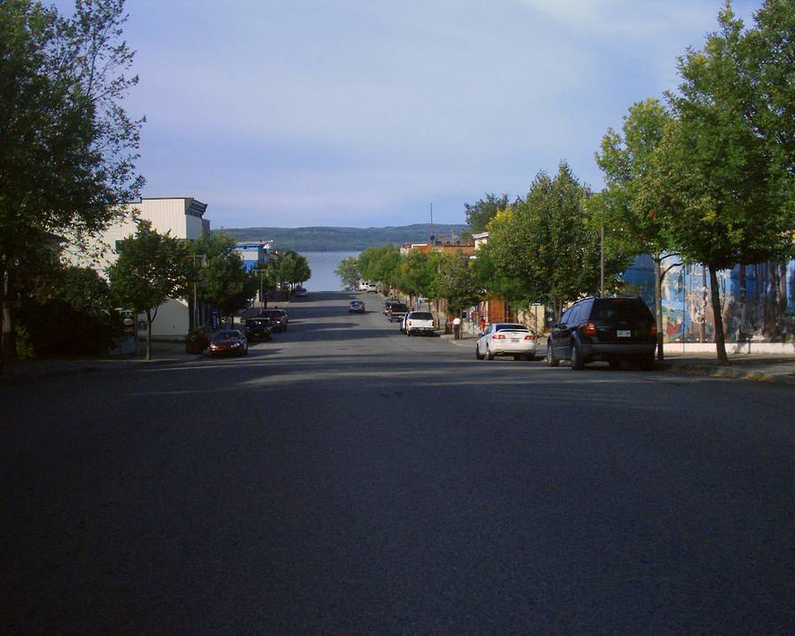
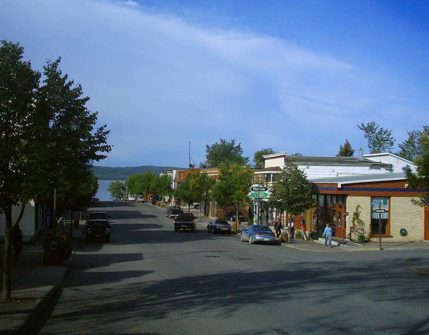
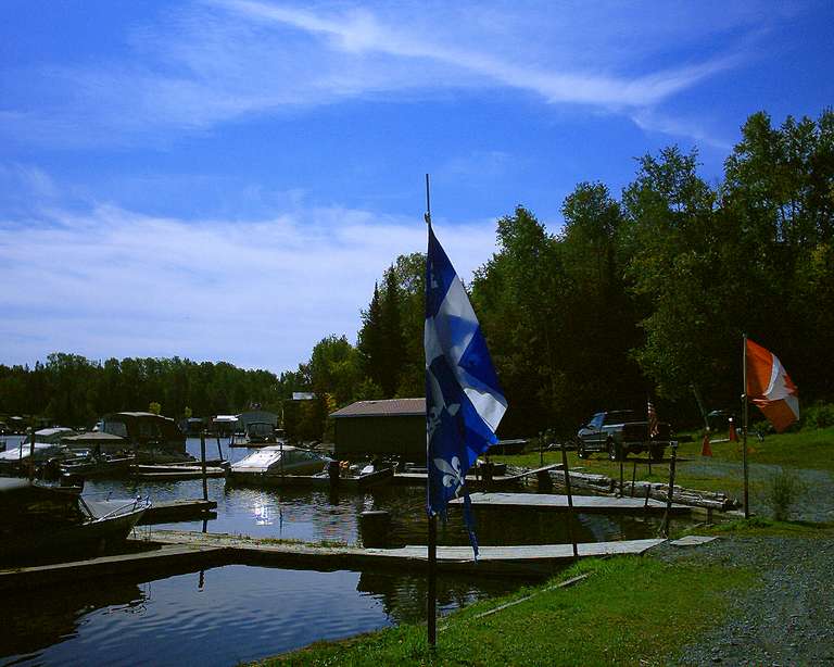
After a brief overnight stop in Otter lake (I set up my tent at the cemetairy) I resumed my treck ending up along the Ottawa
river at Campbell's bay (which is pleasent to explore ) and at this point took the bike path towards Shawville (which is a
nice town with a historic quarter) and again took a right turn to cross the river at Portage du Fort resuming my treck the
next day towards Pembrooke and beyond...
The treck I chose took me along the Ottawa river north towards
Temiscaming. Since there is no such road on this side of the border the only sane choice left was taking the 17 towards Mattawa
and then the 533 (which is an isolated stretch of road that saves me a lot of mileage ) which ends at the 63 which goes down
towards Temiscaming. Actually the treck was far from being without it's own bugs
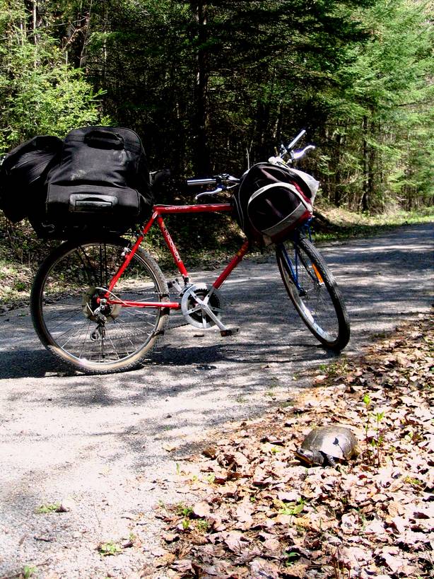
since I find myself lucky to have gone far as the town of "Deep River" in one piece considering the fact that the threading
holding the nut to the axle was so worn that a bad bump would have dislodged the back wheel causing untold consequence...I
realised this at some point past the point of "Deep river" and was obliged to turn back after trying to tie up the axle to
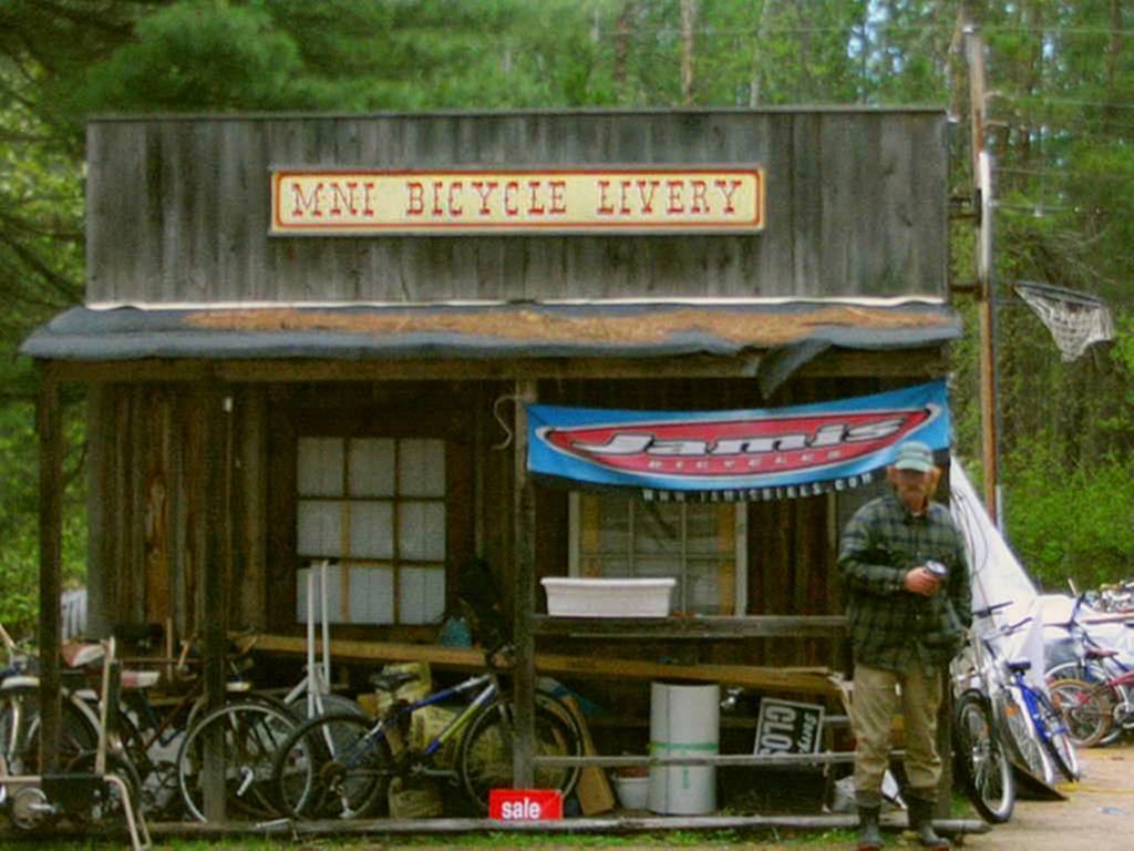
the frame the best I could. Fortunately by some miracle of fate there was a bike shop in Deep river whose owner offered help
on a sunday to get me back on track .
|
||||||||||||||
|
Subsequently a no thrill ride followed suit which at one point became somewhat nightmarish once travelling in freezing
rain in the vicinity of the same spot I ended up in the last time this happened which was "Deux Rivieres" (which in season
has a ferrry crossing into the hills and the wilderness across the river). From town the hills across the river entice to
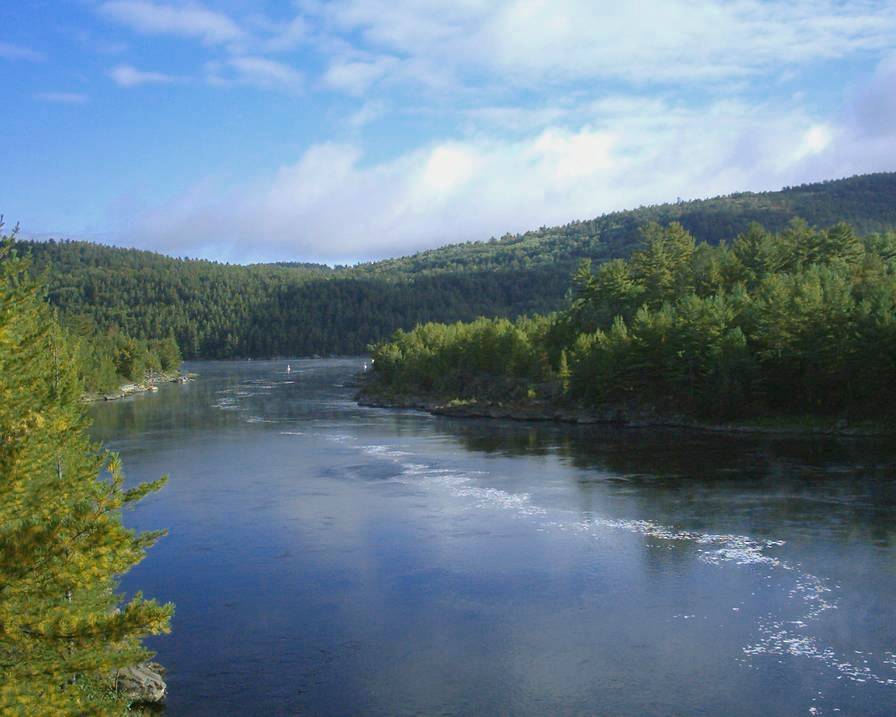
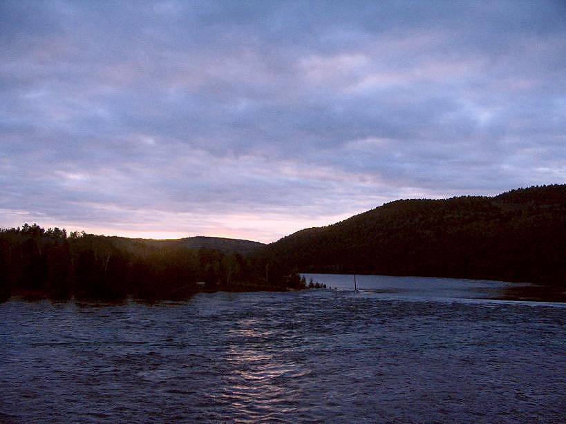
do some exploration. Actually the most amazing thing about the Ottawa river are the hills to glimpse across the river which
act like the walls of a forteress whose secrets are best discovered at such points of entry as "Rapides des Joachims" which
has the look of a frontier town on the border with Ontario without being directly attainable from Quebec despite being part
of the province.
Despite what may be assumed once travelling on the other side of the river it is possible to uncover some well preserved
imprints of history namely in Mattawa (the city center of Pembroke is another example). Apart from the farms and sleepy litte
old houses in my opinion the really fascinating sites to uncover were along the river (if you are a nature lover in
search of truely inspiring scenery)... Although nature lovers are assured to be thrilled by Algonquin provincial park
which is a canoeist's paradise and is situated further inland !
Since the
Ottawa river valley is best described south of Temiscaming, this part of the journey typically described the river up to the lake which on its own deserves
a visit . Altough the adventure doesn't stop there. Once in the vicinity of the lake
some fascinating places on both sides of the lake deserve a visit . In Ontario those which enjoy mining history should take
the time to discover Cobalt which in it's heyday was the
center of silver mining in Canada if not the world . Since I did previously visit I personally preferred taking the road back into Quebec and passed though the town of Temiscaming since my
goal was to discover the eastern fringe of the region including what the other side of the lake held in terms of mineral outcrops...(the
Wright mine which was the first silver operation in Canada dating back to the 1800's-if not before- was situated
in the area...)
|
||||||||||||||
|
Since part of my stated purpose for passing through
was to discover what is claimed as mountainous scenery at the end of the Maniwaki road, I stocked up on supplies and asked
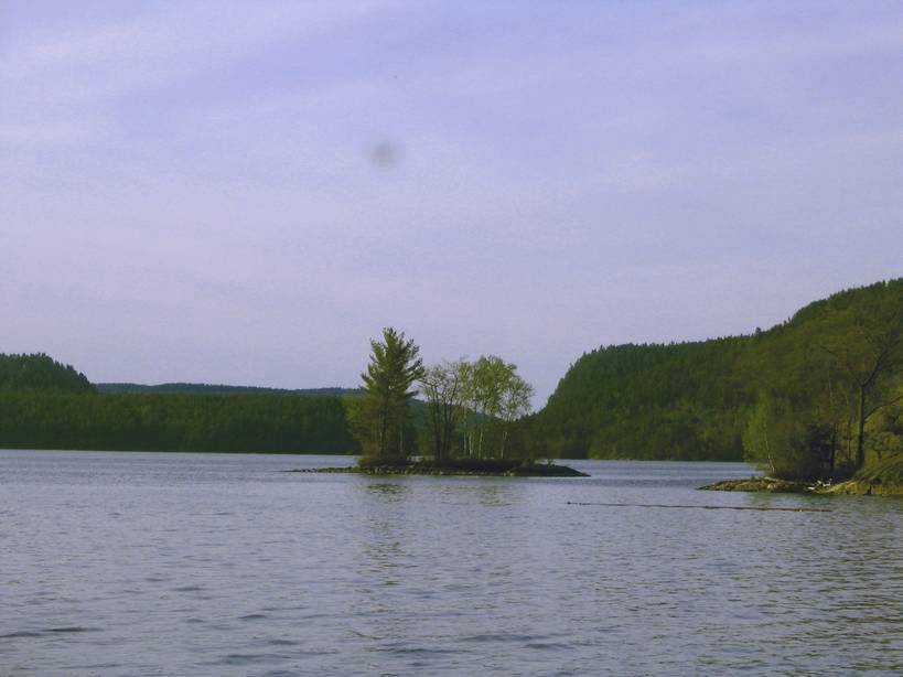
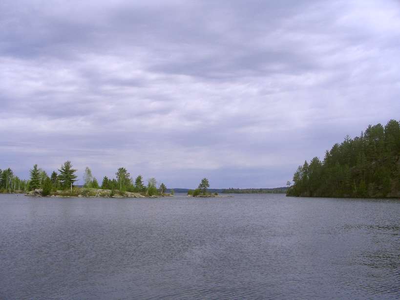
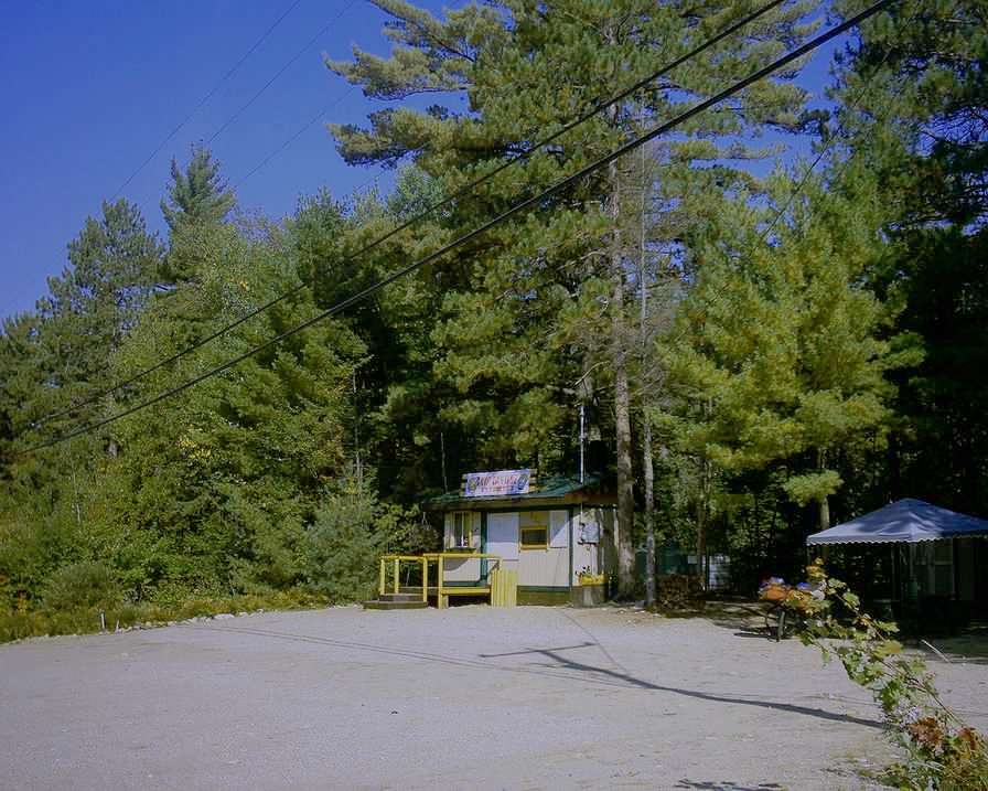
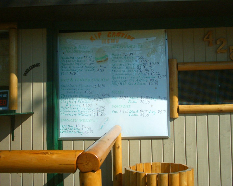
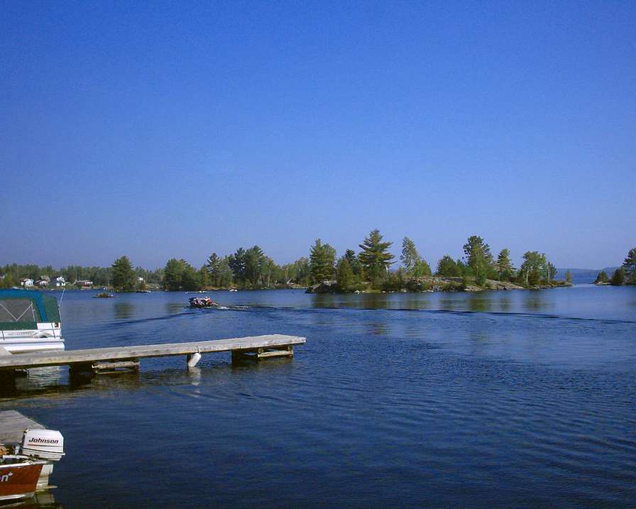
for some additional advice including in Kippawa which is the lakeside native reserve on the shores of the lake by the same
name whose truely unique character lies with its shoreline exceeding 1000 miles despite not formally representing a large
surface area. The lake is a fiserman's paradise with numerous coves and bays conceiling the secret fishing spot attainable
after a journey worthy of pirates lore obviously in a boat (a journey best described if you dare risk travelling
to the ends of the earth ultimately attaining the other lakes in the vicinity using the small hidden passages !
)
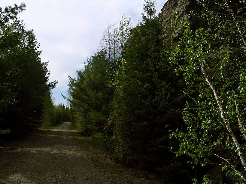
Once in the vicinity of Lake Kipawa I took the road passionately
named the "Maniwaki" which while going a fair distance towards the stated goal never attains it, abruptly ending at the Dumoine
river whose wrought iron bridge approaches 100 years in age. Despite the burdensome journey I took my chance and almost continued
past the 30Km spot once pressed by a stranger claiming the sight of mountains once observed from the fire tower in the vicinity
of "Desjardins" lake. Thank god being waken up in the middle of the night by 2 strangers having a party on the road in the middle of nowhere
got me back to my senses... Strange to note that despite what looked like a neighbourhood street in the middle of nowhere
conceiling a reassuring number of dwellings, I preferred to avoid taking chances on what looked like a semi deserted road
mostly after I became aware that my emergency supply of cheese looked like some kind of gooey marshmello with some strange
ingredients of the like you tend to find in a bag that has stuffed a lot of different things from clothing to rocks without
forgetting left-overs of typical food items...Mind you, I had close to 100 miles to go before getting to a place
really in the middle of nowhere... I thus returned to town in order to avoid becoming another casualty of the forbidding green desert which for a lone
treckker on a mountain bike looked more like hell then a worthwile adventure considering what was to find at the other end
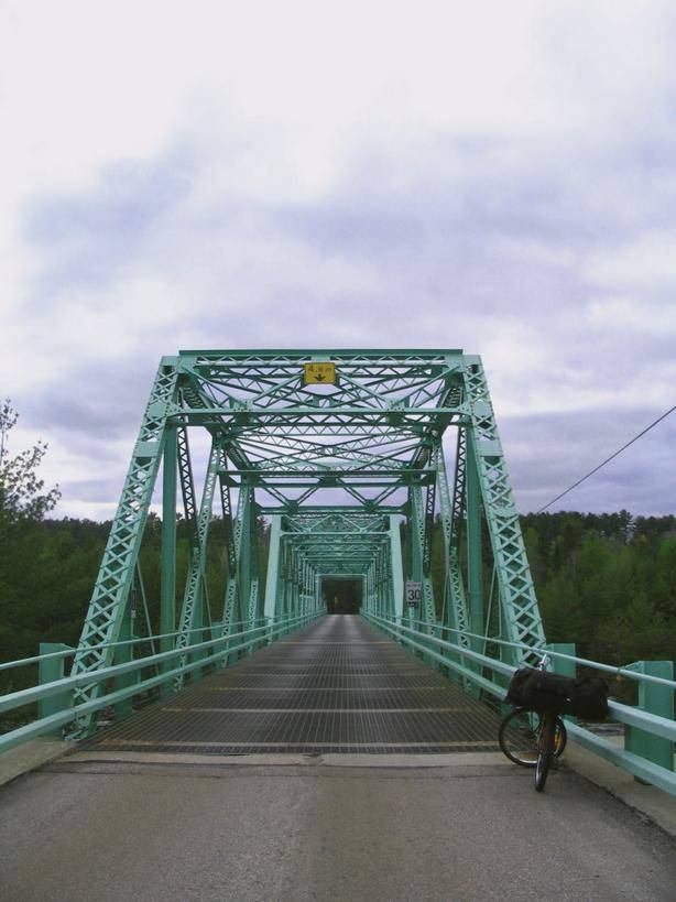
without forgetting the return trip. Mind you the sight of an old bridge at the Dumoine river was the initial purpose for taking
such a course.
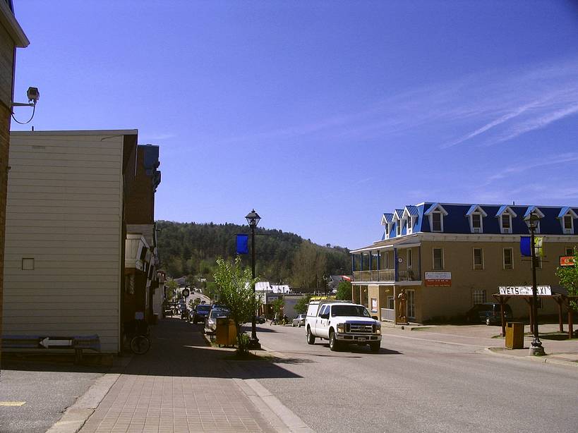
Once ending up in Ville Marie I set my sights on the mountain
(oupps , hill) obviously to take some pictures... I also obviously took the time to visit town and the most amazing waterfront
with it's stately homes. I stayed long enough to be able to pay myself a treat at the supermarket purchasing a large seafood
lasanga to cook in their microwave oven. I also as is typical of myself added some pictures including of a watrerfront inn
which in my opinion must be a most delightful place to visit and call home for a week or so.. The pictures to see here also include those I took several years
back witha truely antiquidated digital camera whose image quality is enhanced with the use of some simple tricks...
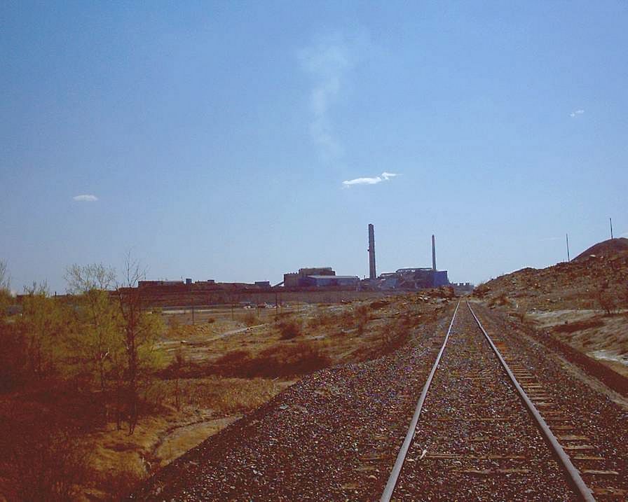
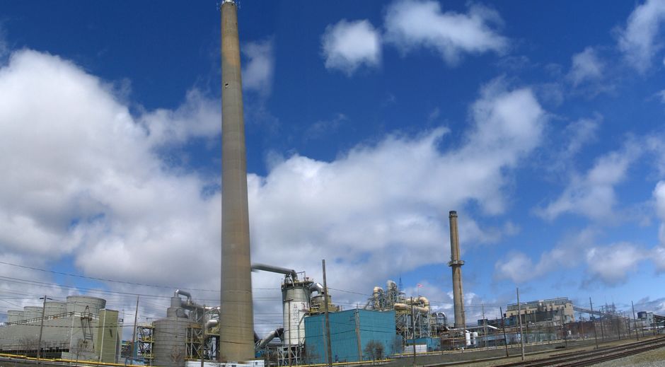
Once out of town I set my sights on the really big place to find in the area which is Noranda which to be honest really
ressembles a major city while keeping the small town feeling to it at least for those on the outskirts. The town arose not
as the result of the need to assure the development of the land through farming and ultimately forestry (which is the case
in the Temiscaming) , but as a result of a major discovery of ore which some claim changed the world (at least if I trust
what certain rumours claim originating from the aftermath of WW2 ...I personally thought that the story was a piece of balony
! ) . Although the discovery did obviously change the mining world..at least in the immediate area !
Link to a hill and mining lore
Apart from the major industrial complexe treating ore
from around the world (since there formally isn't any left below ground) assuring lasting use of the facility and the survival
of town (at least when it comes down to the direct and indirect jobs associated with the complexe) , the place looks like
a little part of heaven at least for me the person in search of a peaceful place with all the creature comforts of a major
city.
In it's heyday the region (including on the other side
of the border) was associated with most of the mining wealth in the country being the source of most metal and precious
metal production. The immediate area gradually evolved becoming more economically diversified while it's ethnicity being
influenced by the influx of eastern European immigrants which held the difficult jobs in the mines such as those in Noranda
and Val D'or helped further shape some of it's characteristics. With a university and professional training centers assuring
the creation of a qualified labor force, the region seems well equipped to confront a modern world demanding qualified labor
which can also more easily adress the difficult challenges of tomorrow.
Actually for those in search of the headwaters of the Ottawa taking a trip within the Verendrye park is the crowning
achievement for the fools which need the added challenge of confronting the wilderness which continues unchallenged
for approximately 100 miles before a timid encounter with civilisation. This year I took the way down from Abitibi instead
of going up like I usually do and was delighted by the ordeal. Actually since there is an ample asphalt embankement there
is enjoyment travelling at the fringe of a roadway within an untouched wilderness even if the first reaction is the fear of
isolation which rapidly ebates once you realise that the next motor vehicule will appear any minute ! Since there is basically only one pit stop to stock up on food which is at the southern end of the park I came prepared
to confront the worst knowing that my foolish pride should serve as sufficient advice to prevent me from seeking roadside
assistance ! Although , while I could have stopped at one of the many camp grounds to encounter at road side (which oblige
access dues) I stopped at the places I typically stop at which from the north first starts at Km 426 (which is where the emergency
medical technicians are stationed for those taking their vacations in the park and for the speed freeks that want to break
a speed record...) . As typical of myself I plugged myself in for the night outside of the garage of the transport ministry...I
waited and listened within the darkness for the sounds of the big ape I had seen once before ... I left at mid morning the next day and never looked back even if I would have enjoyed discovering the 29 and what appears
as interesting hills situated at the north east corner of the park. Actually I almost made the error of taking a 140 mile
trip on a gravel road towards riviere Suzie and what amounts to nowhere with the hopes of catching a passing train towards
home...At the final moment I came back to my senses acknowledging that despite what appeared as an improved physical condition
the reality of 2 broken spokes on the back wheel (which I subsequently attached to spokes on the exchangeable side of the
wheel ) made the adventure a little more hazardous even if I could theoretically stock up on food at the outfitters encountered
along the way...Mind you despite the fact that these are travelled roads , I once fell on the remains of a 1940's
automobile which crashed in the woods making me wonder if... Thus despite initially taking the road towards the northern entrance of the park in order to take pictures from the
communications tower adjacent to Matchi Manitou lake, such a vista permitting a good perspective on the hills at the north
east corner of the park, I instead opted to continue further south through the park on a road which I acknowledge is much
safer. Although despite my change of plans to be on the safe side I still had lingering doubts about just continuing through
without getting a glimpse of the hills which on the satellite imagery appear intriguing to say the least. Despite my
initial disappointment taking a better known and more frequented course the escapade was equally rewarding
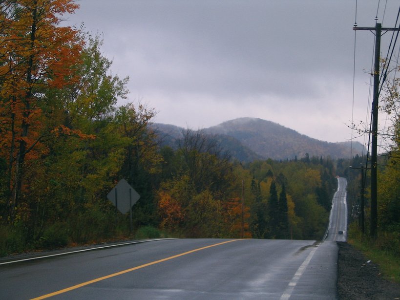
even if once in search of revitalisation in my quest for discovery I was left with a sense of loss... I also have to admit that despite appearing relatively flat, it is apparent that the immediate area being at the headwaters
of the Ottawa river must be at a loftier altitude than where the hills are to be found further down along it's course...
|
||||||||||||||